01
Map what matters.
Draw a boundary or trace a corridor. Plan overlap, altitude and capture spacing for nadir, oblique or combined imaging.
AREA MAP · LINEAR MAP · CROSS-GRIDTurn a place on the map into a mission you can see. Shape your route, explore the terrain, and take your plan from the desktop to the field.
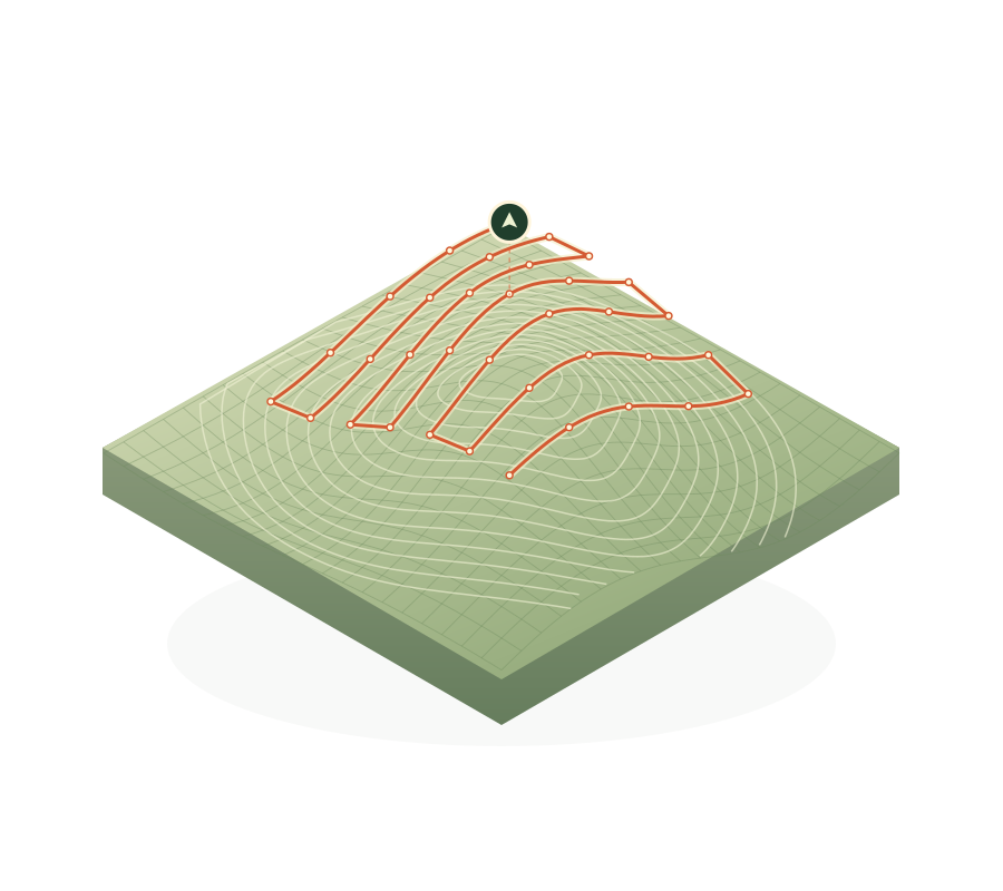
From a long corridor to a complex facade, choose a mission that fits the subject. Make every camera position part of the plan.
Draw a boundary or trace a corridor. Plan overlap, altitude and capture spacing for nadir, oblique or combined imaging.
AREA MAP · LINEAR MAP · CROSS-GRIDDesign facade passes and structure surveys, then fine-tune individual inspection stops and camera direction.
FACADE · STRUCTURE · INSPECTIONFrame your subject with an orbit, spiral or panorama. Build a waypoint route, hold for a photo, or plan a dronie.
14 MISSION TYPES ACROSS PLANSExplore your route in free 3D terrain. Move around the site, step through photography positions and look through the planned camera angle as you edit.
Your web workspace and Android library stay connected through deliberate, revision-aware transfers.
Locate the site, trace a contour and dial in the flight and camera settings.
Review the route, elevation profile and planned camera views. Save a cloud revision.
Send the plan to your offline library. Bring device edits back into the hub when you reconnect.
Builds for Mini 4 Pro / RC-N2, Air 2S, and phone-connected Phantom 4 Pro, Pro V2 and Advanced controllers.
Early access. DJI registration and aircraft testing are required before flight. Mission sync is manual while the hub is open.Explore for free. Additional memberships appear here when they are available.
Get to know your next mission. Five cloud plans and free terrain preview.
Tell us about your aircraft, your site, or the workflow you want to build.
office@flayplan.com ↗